
Barcelona, a city rich in culture, history, and stunning architecture, offers a myriad of attractions that can be overwhelming for first-time visitors. To navigate this vibrant metropolis, an interactive map can serve as an invaluable tool, guiding you through its streets and helping you discover hidden gems. This article will delve into the various aspects of using a map to explore Barcelona, enhancing your visit with essential information and tips.
Key features of the Barcelona map
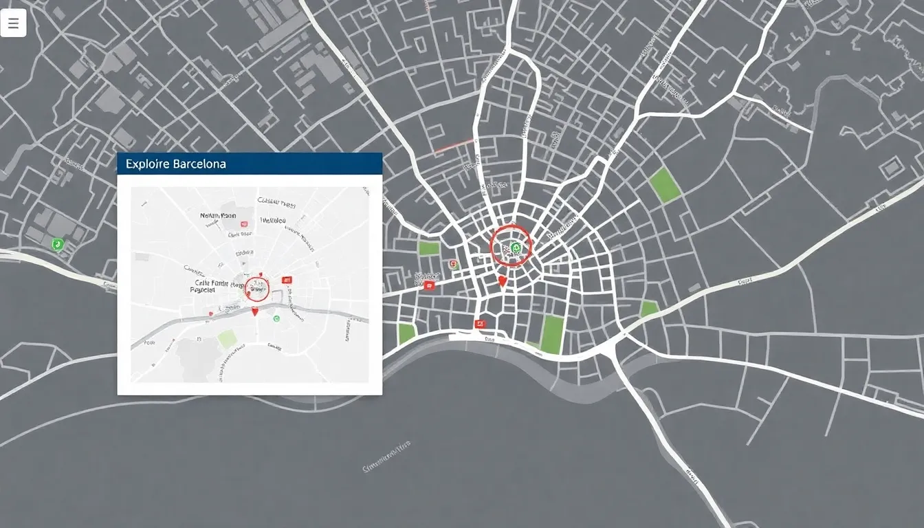
The Barcelona map is designed to highlight the city's most significant landmarks, including renowned monuments, museums, plazas, churches, and various points of interest. Each icon on the map corresponds to a specific location, allowing you to quickly identify notable sites during your exploration.
When you print the map, you will notice that the numbers assigned to icons directly correlate with a list of points of interest. This feature simplifies navigation, ensuring that you can easily find and reference each location as you make your way through the city.
How to use the interactive Barcelona map
Navigating the interactive Barcelona map is straightforward and user-friendly:
- View location information: Simply click on the colored markers to access details about each site.
- Move around the map: Drag the map with your mouse to explore different areas.
- Zoom in: Double-click the left mouse button on the map or scroll up with your mouse wheel.
- Zoom out: Double-click the right mouse button on the map or scroll down with your mouse wheel.
Exploring Barcelona by neighborhoods
Barcelona is divided into several distinct neighborhoods, each with its own unique charm and attractions. Understanding these areas can enhance your experience:
- Gothic Quarter: Known for its medieval architecture and narrow alleys, this area is home to the stunning Barcelona Cathedral.
- Gràcia: A bohemian neighborhood filled with independent shops, vibrant plazas, and a lively arts scene.
- La Sagrada Família: The iconic basilica designed by Antoni Gaudí, showcasing intricate facades and breathtaking interiors.
- Barceloneta: A beachside neighborhood famous for its seafood restaurants and lively atmosphere.
Tourist map of Barcelona
A dedicated tourist map of Barcelona can help you identify key attractions and plan your itinerary effectively. This map typically highlights:
- Museums, such as the Picasso Museum and the National Art Museum of Catalonia.
- Major parks, including Parc Güell and Montjuïc Park.
- Shopping districts like Passeig de Gràcia and El Born.
- Cultural venues, including theaters and concert halls.
Downloading a PDF version of the tourist map
If you prefer a physical copy of the map while wandering around Barcelona, many websites offer downloadable PDF versions. These can be printed or saved on your mobile device for easy access. Make sure to check for:
- High-resolution images for clarity.
- Up-to-date information on attractions and services.
- Additional tips on public transport and local customs.
Map of Barcelona, Spain
When searching for a map of Barcelona, ensure you specify "Spain" to avoid confusion with other cities. A detailed map will provide context for:
- The city's layout, including major roads and public transportation routes.
- Geographical features, such as hills and coastlines.
- Surrounding areas worth exploring, like Montserrat or the Costa Brava.
Using Google Maps for better navigation
Google Maps is an invaluable resource for navigating Barcelona. With real-time updates and extensive information, you can:
- Access public transport schedules and routes.
- Find nearby restaurants, cafes, and shops.
- View street-level images for better orientation.
Utilizing Google Maps can significantly enhance your travel experience, allowing you to discover new places and stay on track.
Metro map of Barcelona
The Barcelona metro system is one of the most efficient ways to explore the city. Familiarizing yourself with the metro map can save you time and energy:
- Identify key metro lines and their respective stops.
- Plan your journey to major attractions with ease.
- Learn about interconnections with bus and tram services.
The metro is a cost-effective option for tourists, offering quick access to many popular destinations.
For those interested in creating their own maps or animated visuals, numerous online resources are available. For example, you can explore this video on creating animated maps easily with Google Earth Studio:
Conclusion
Armed with a comprehensive map of Barcelona and an understanding of the city's layout, you're ready to embark on an unforgettable journey through this Catalan gem. Whether you prefer the interactive features of a digital map or the classic feel of a printed version, navigating Barcelona has never been easier.
 Barcelona tourist attractions and landmarks to visit
 Barceloneta Beach in Barcelona: A Must-Visit Destination
 Blue Tram: A Unique Travel Experience
If you want to know other articles similar to Interactive Barcelona Map - Explore Barcelona City Plan you can visit the category WHERE YOU CAN GO.
Leave a Reply

Read more!